0 item(s)
€0.00
To recover your password please fill in your email address
Please fill in below form to create an account with us
Back To Login
Let's make today a great day!
QTY:
IMPERIA ANTIQUA PARS OCCIDENTALISImperia Antiqua. Pars Occidentalis. Date:C1788 Mapmaker: Rigorbet Bonne (1727-1794) Image Size: 360mm x 250mm (14.17" x 9.84") Condition: In good condition centre fold as issued. Technique: Copper engraving with
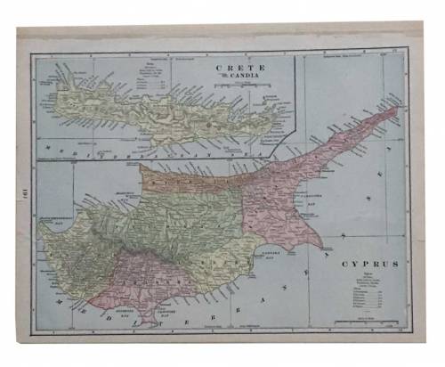
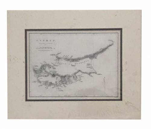
CRETE CANDIA - CYPRUS 19th century
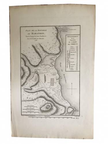
PLAN DE LA BATAILLE DE MARATHON
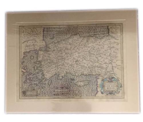
Turkey with Natoliae sive Asia Minor, by Jodocus Hondius. 1623
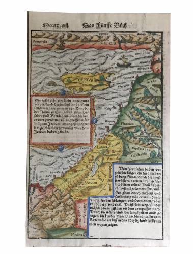
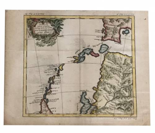
MUNSTER Sebastian (1488-1552) Cyprus - Cilicia.
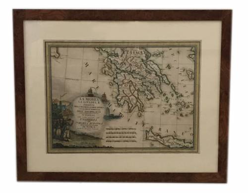
LA MOREA LA LIVADIA, Roma 1788, 460X340 mm, fine condition
LA LACONIE ET L' ILE DE CYTHERE
TURKEY AND ASIA
A MAP OF MACEDON
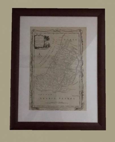
A NEW AND CORRECT MAP OF THE TRAVELS OF OUR BLESSED LORD AND SAVIOR JESUS CHRIST IN THE HOLY LAND
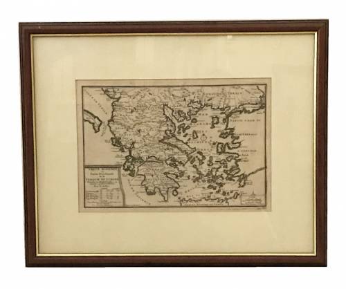
GRECE MODERNE ou PARTIE MERIDIONALE de la TURQUIE EN EUROPE
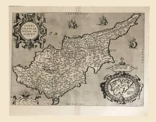
Old map of Cyprus by Abraham Ortelius (1527-1598).
CONSTANTINOPOLE
CYPRUS
GRIECHENLAND
Carte des Isles Kouriles.
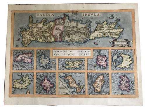
CANDIA INSULA / ARCHIPELAGI / RUM ALIQUOT DESCRIP