DIE LANDSCHAFT LIVADIEN EINST HELLAS |
printerFriendly by cloudcms®
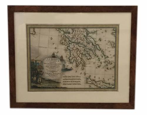
DIE LANDSCHAFT LIVADIEN EINST HELLAS
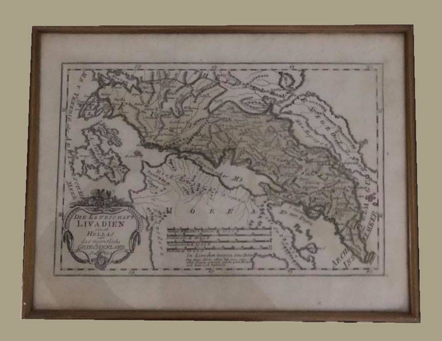
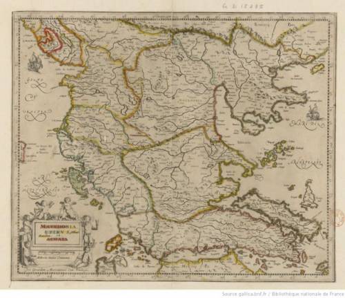
DIE LANDSCHAFT LIVADIEN EINST HELLAS, map of Greece. Printed in Vienna in the year 1789. 340X220 mm.Original copper engraving. A very rare and very interested map which shows the landscape Livadien once Hellas or that real Greece. The Austrian cartographer Franz Joh. Josef von Reilly published around 1789 in Vienna a large amount of very detailed district maps of Central Europe. These maps are famous for their large scales and the many details they provide. Even tiny place names can be found on those maps, rivers, mountains, streets, monasteries are as well engraved. The maps, which Franz J. Reilly engraved, were especially designed for the Austrian Royal house and show countries, provinces and districts belonging to the 'Austrian-Hungarian Empire'.
Price: €150.00
(including 19% VAT)